
Introduction
Mapmaking has been around for centuries and is one of the oldest professions. It is an art that combines science and creativity to create a visual representation of the world. But what is the science of mapmaking called? The answer is cartography. Cartography is the study and practice of making maps.
Understanding the science of mapmaking is important for many reasons. For starters, it helps us better understand our world and navigate it more easily. Maps can also be used to make decisions about things like land use and resource management. Additionally, maps are used in scientific research to help scientists study the environment, climate, and other aspects of the natural world.
Exploring the Art and Science of Mapmaking
The history of mapmaking dates back thousands of years. Ancient civilizations used maps to record their travels and explore new lands. As technology advanced, so did the accuracy and detail of maps. By the 19th century, maps were being used for a variety of purposes, from military planning to scientific exploration.
Today, there are many different types of maps. These include topographic maps, which show elevation and relief; political maps, which show boundaries between countries or states; and physical maps, which show geographical features such as rivers and mountains.

Unveiling the Secrets of Cartography
So, what is cartography? Cartography is the science of making maps. It involves collecting data from various sources, analyzing and interpreting the information, and presenting it on a map. Cartographers use a variety of tools to create maps, including GPS devices, aerial photography, and satellite imagery.
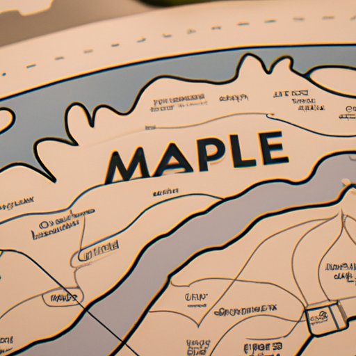
To understand how to read a map, it’s important to know the components of a map. Every map includes a legend that explains the symbols used on the map. There is also a scale that shows the relationship between the size of an object on the map and its actual size. Finally, a compass rose is used to indicate direction.

Mapping the World: A Look at the Science of Mapmaking
At the core of mapmaking is geography. Geography is the study of the Earth and its features. It encompasses the physical, human, and environmental aspects of the planet. To make a map, cartographers must have a thorough understanding of geography.
Cartographers also use a variety of tools to create maps. These include surveying equipment, geographic information systems (GIS), and computer-aided design (CAD) software. Making accurate maps requires skill and precision, as even the slightest error can lead to inaccurate results.
A Comprehensive Guide to the Science of Mapmaking
Mapmaking is an art and a science. Different types of maps are used for different purposes. Political maps show boundaries between countries, while physical maps show geographical features such as rivers and mountains. Digital mapping uses computers to create detailed maps of the world.
Advanced techniques in mapmaking can be used to create 3D maps, interactive maps, and even virtual reality maps. Collecting data for mapmaking involves using a variety of sources, from aerial photography to satellite imagery. Analyzing and interpreting this data is key to creating accurate maps.
How Maps are Made: A Closer Look at Cartography
Presenting data on a map is an important part of cartography. Maps can be created by hand or with the help of computer software. Cartographers use symbols and colors to represent different features on a map. They also use lines to indicate roads, rivers, and other features.
The science of mapmaking is complex and involves a range of skills. It requires knowledge of geography, mathematics, and computer science. Cartographers must also understand the principles of design and how to effectively communicate information through a map.
Conclusion
In conclusion, the science of mapmaking is called cartography. Cartography involves collecting data, analyzing and interpreting it, and presenting it on a map. Understanding the science of mapmaking is important for navigation, decision-making, and scientific research. Maps can be created using a variety of techniques, from digital mapping to advanced techniques such as 3D mapping.
Overall, cartography is a fascinating field that combines art and science to create a visual representation of the world. Understanding the science of mapmaking can help us better understand our world and make more informed decisions.
(Note: Is this article not meeting your expectations? Do you have knowledge or insights to share? Unlock new opportunities and expand your reach by joining our authors team. Click Registration to join us and share your expertise with our readers.)